
Observing Earth’s momentous events from the comfort of our bedrooms is no longer a pipe dream in this day and age. Whenever there is a peculiar phenomenon in the sky, people can witness it on their mobile device — all thanks to all the advancements made in earth imaging.
Not only is earth imagery (also called satellite imagery or spaceborne photography) awe-inspiring and a sight worth beholding, but it also provides essential information about the planet we live in. In this way, it can help scientists and researchers reach uncharted territories. The empirical data collected can prove to be a valuable resource, aiding in better disaster response and enhancing sustainable growth.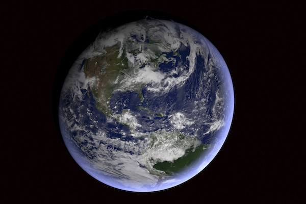
Here are some ways earth imaging works:
To begin with, satellite imagery has taken location intelligence to a whole new level, helping industries that use map-based consumer services streamline their process. The high-quality imagery, produced with a high-resolution lens, assists in object identification and consumer applications. When the first step of object identification is accurate, the next steps — such as asset tracking — fall into place on their own.
The high-res lens, which makes detailed earth imagery possible, also plays a pivotal role in detecting critical changes, such as population shifts, global environmental changes, and military mobilizations. The crucial information provided by these images is, therefore, of utmost importance to the global development organizations and many regulated industries.
The advantages of Earth imaging have a broad reach as they can reveal the planet’s land use as well as monitor its changes over time. Copernicus Sentinel-2, launched by European Space Agency (ESA), is one such Earth observation mission that maps the differences in land cover and helps understand the landscape. The high-resolution lens installed within also provides information about Earth’s vegetation.
Aiding in self-assessment, such satellites keep us informed about our surroundings as well as the constant changes in the land, sea, and air around us. It makes us more aware of the fact that our actions have major impacts on our planet.
Considering the importance of Earth imaging, Ferran Gascon (Sentinel-2 Mission manager) informed that “Earth is a living planet that is changing all the time.” He added that observing it is, therefore, necessary to keep tabs on wildfires and floods and to address the environmental issues.
Besides, the use of satellite data for improving sustainable growth is also on the rise. A 2014 report by Earth Imaging Journal (EIJ) revealed how the satellite Earth observation data was used to monitor the Song Bung River that flows down from the Annamite Mountain Range in Vietnam. Nearby the river is a hydropower plant, and the data was used to observe the “stress that filled reservoir exerts on the dam and the overall environmental impact of the power plant and its reservoir on the surrounding area.”
As mentioned above, the quality of a lens immensely impacts the images produced, which further influences the precision of data. Therefore, you must opt for the high-resolution lens that we, at Universe Optics, design. This will ensure detailed images, ergo, accurate data.