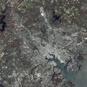
The use of satellite imagery is becoming one of the fastest growing tools in the field. The application of multispectral, hyperspectral and panchromatic satellite imaging has led to the discovery of thousands of archaeological sites in just a few short years.
Case in point is Archaeologist Sarah Parcak’s discovery of the street plans for the City of Tanis, in Egypt. Tanis, once the capital of Ancient Egypt and was made famous in the movie, Indiana Jones and the Lost Ark. By using satellite imagery, she was able to determine that the city was roughly four times larger than originally thought. Thanks to satellite facilitated infra-red imaging techniques, Parcak discovered an ancient network of streets and houses at Tanis, which are completely invisible from the ground.
To test further the satellite imagery, Parcak enlisted the help of a French archaeological team which already had a long history of digging at the 3000-year-old Tanis site. The satellite revealed a maze-like street plan, a warren of mud-brick walls, and homes that seemed to house the wealthy. Based on the imagery, the French team chose a structure and began their dig. At 30 centimeters of sediments, they unearthed brick walls. According to Dr Sarah Parcak – “They found an almost 100% correlation between what we see on the imagery and what we see on the ground. They’d excavated a 3,000-year-old house that the satellite imagery had shown and the outline of the structure matched the satellite imagery almost perfectly. That was real validation of the technology.”
The cameras on the satellites are so powerful that they can spot objects that are less than a metre in diameter. Having a lens that is made with exact precision also helps with the clarity of images, thereby giving clearer precision to mapping of areas otherwise missed.
While nothing replaces old-fashioned digging, and with many areas of the Ancient world currently in conflict, the ability to ‘see’ using Infra-Red Satellite Imagery is not only saving time it is also more cost effective.
Many objects that would have been lost to the human eye, can now be detected from hundreds of miles in space. The ability to do so is changing the dynamics of Archeology, giving us a better understanding of Ancient Civilizations.
Universe Kogaku designs and manufactures optical lenses for Archeology, security, high tech and electronic applications. We stock 1000’s of standard lens assemblies and can custom design a solution for scanners, CCTV, CCD/CMOS, medical imaging, surveillance systems, machine vision and night vision systems.