
Research teams tasked with protecting the environment are discovering and implementing new camera technology that helps organizations quickly identify invasive species. For example, weeds, many of which are attractive, are a prime example of how widespread damage to local ecosystems happens when their growth is left unchecked. Fortunately, cameras equipped with custom lenses are making identification much more accessible.
Remote Sensing Lenses To The Rescue
Research teams can now carry around small, handheld cameras equipped with lenses that allow them to get up close and personal enough to identify the plants. That means they can quickly and efficiently take pictures of the plants in question and then compare them to images in a database to get a positive ID.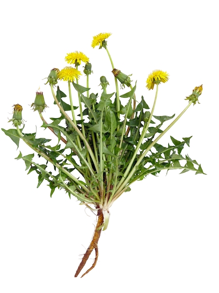
Not only is this camera technology helping weed teams do their jobs more efficiently, but it’s also providing valuable data they use to track the spread of invasive species. By keeping track of where and when they find these plants, organizations can better target their resources to areas that are at risk. In addition, remote sensing lenses allow for more profound research with greater precision than previously available.
How It Works
Info-gathering implies taking photos of the planet from an elevated perspective, such as from space or an aircraft. The team uses specialist cameras (on satellites) or airborne cameras (on aircraft), which can record data in the far-infrared and thermal visible spectrum of light and then extract information from them.
In recent years, very high-resolution satellite data has become accessible. This imaging detects objects as small as a millimeter and has greater precision in identifying plants due to images captured at precise wavelengths of the electromagnetic spectrum.
These advances in cameras and optical lenses are creating a revolution for researchers mapping species occurrences. They now have enough data to understand how species spread occurs and possible steps to mitigate catastrophic invasions.
Stopping Aggressive Invaders
The problem with invasive species is that some outgrow the local vegetation so quickly that they replace it altogether, which could permanently damage the ecosystem. Field ecologists are identifying unique signatures from the invader plants that make organizing their work more efficient.
Researchers may utilize the standardized difference vegetation index (NDVI) from data collected in the spring and fall to determine what’s growing and how fast. Satellite mapping is also adding to the knowledge base. Seasonal (phenological) changes, structural elements, and physiological events are identifiable via satellite images.
The core technology is augmenting the current understanding of ecosystems and how they change when a new species arrives. As a result, remote sensing has been a hot topic since 2010. Since then, remote sensing has risen to the forefront of research as a means to achieve biodiversity, and it’s now entering its golden age with drone mapping.
Some invasive species are very tough to remove once they establish themselves. That’s why preventing the spread is more desirable and one of the primary goals for field ecologists. Fortunately, advances in technology are keeping pace with their ambitions.