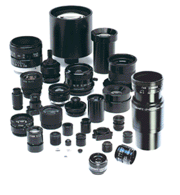
High resolution lenses for machine vision — standard and custom lens design
Surveyors Benefit From Laser Technology
High Resolution Lenses for machine vision, instrumentation, inspection and vibration-sensitive applications. Standard and custom hi-res lens assemblies.

Laser Technology
Developers, surveyors and architects understand the importance of laser technology for building and site work. Laser surveying provides precise, clear results. Landscape measurements, by its very nature, is a difficult undertaking when accounting for changes in terrain. Laser technology allows for a three dimensional rendition of the property or building being surveyed. High definition laser scanners produce accurate 3D models in almost real time and provide intricate details of a site as compared to conventional survey methods.
Lasers surveying technology is becoming more prevalent in the industry and is able to undertake complex measurements that are also a time and money saver compared to conventional surveying methods. The precision readings supplied by laser surveying helps maintain engineering standards, measurements and foundation structure verification. Using global positioning satellite (GPS) in conjunction with 3D topographical, site surveying allows for real time reporting on Building Information Modeling (BIM). In addition to land surveying, laser devices are used in law enforcement, historical surveys and by archaeologists.
Property owners in adjacent lots appreciate the laser surveying technology because it moves the project along more quickly and means activity on the property or the roadway will not be disrupted for long periods of time. Laser surveying provides data points at a rate of 50,000 points per second (PPS). The high rate of PPS is especially crucial when surveyors are on busy roadways.
Once a three dimensional model is produced, the architects receive contextual information about the site. Laser surveying also allows for additional information to be captured about surrounding properties; this is beneficial when gathering information for run off or other property details or positioning.