Hyperspectral Imaging In Agriculture
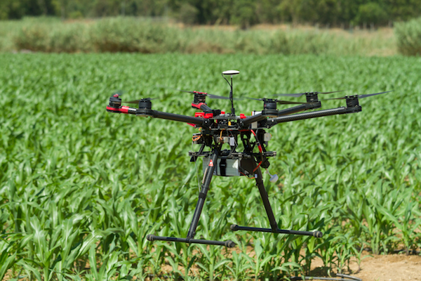
Universe Optics2021-03-04T15:26:51-05:00Hyperspectral technology can capture the continuous electromagnetic spectrum of color and light through a lens and split it into different spectral lengths using a dispersive element such as a prism or a diffraction grating. While human eyes contain only three types of colour receptors (red, [...]